Description
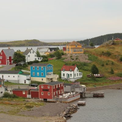
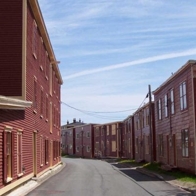
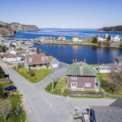
Ferryland Historic Townscape Area is located in the Town of Ferryland, NL. This evolving district encompasses an area along the waterfront at the foot of The Gaze. The principal physical elements of the district include a cemetery dating to the mid-18th century, a Presentation Order cemetery dating to the turn of the 20th century, a former Presentation convent, Holy Trinity Roman Catholic Church, the former Ferryland Courthouse, Holy Trinity Presbytery and several late 19th to early 20th century vernacular style houses. Ferryland Historic Townscape Area begins at Goosewell Lane in the south, continues northward along the old railroad track to Fox Hill River, east along this river to the Southern Shore Highway, then southward along this route back to Goosewell Lane.
Statement of Significance
Formal Recognition Type
Municipal Heritage District
Heritage Value
Ferryland Historic Townscape Area was designated a municipal heritage district by the Town of Ferryland due to its historic, cultural and aesthetic value.
Ferryland Historic Townscape Area has historic value due to its use as an institutional centre and the age of the historic resources contained within the district. The district was once the religious centre of the community, being the location of a Presentation convent, a school and a Roman Catholic church. Ferryland was also the administrative centre of the Southern Shore region and at one time a bank, and later a courthouse and jail, were also located in this area. Two of the structures in the district, Holy Trinity Roman Catholic Church and the old Ferryland Courthouse, have been designated Registered Heritage Structures by the Heritage Foundation of Newfoundland and Labrador. Holy Trinity Roman Catholic Church was consecrated in 1865 and is the last of 5 similar stone churches commissioned by Bishop Mullock. Adding to the historic value of the church are three statues erected outside. These were salvaged from the wreck of the freighter S.S. Torhamvan, which ran aground in Ferryland in 1926. The old courthouse was built in 1916 by the Bank of Montreal and was later converted into a court, jail house and police residence. South Side Burial Ground is also contained within the district and has historic value as a physical record of Ferryland’s history – the cemetery markers serving as both historic records and artifacts on the landscape. There are a little over a dozen intact headstones in the cemetery, along with many smaller non-descript markers, and certainly many graves are no longer marked. It is one of the oldest known cemeteries in the community, with the earliest headstone dating from 1770. The cemetery was consecrated and named South Side Burial Ground in July 1827 by John Inglis, Bishop of Nova Scotia. Although consecrated as a Protestant cemetery, it also contains the remains of some apparent Roman Catholics.
Ferryland Historic Townscape Area has cultural value as it evokes a sense of a particular time and place. In this predominately Roman Catholic community, the group of buildings associated with the Roman Catholic faith were a symbol of the role religion played in the community. It is also a physical reminder of the influence of the Presentation Order in the community, the role the Order played in the education of the community’s youth and is a reminder of a time when education in Newfoundland and Labrador was conducted largely under the leadership of religious institutions. The Presentation Order came to Ferryland in the late 1850s, establishing a convent and school. While the school has been removed and the convent has ceased to operate, community residents have a shared recollection of this period in the community’s cultural development. A grotto and a Presentation cemetery remain as physical reminders of this past.
Ferryland Historic Townscape Area has aesthetic value due to its environmental setting and landmark value. Located along the Southern Shore Highway, it is well known to residents in the community and in the greater region. The East Coast Trail runs parallel to the western boundary and the eastern boundary is open to the Atlantic Ocean, providing a panoramic view of Ferryland Harbour, its islands, The Pool, the meadows of The Downs and Ferryland Head.
Source: Town of Ferryland Municipal Plan, November 1998.
Character Defining Elements
All those elements that embody the historic, cultural and aesthetic value of Ferryland Historic Townscape Area, including:
– its coastal siting;
– unobstructed view planes to and from the district;
– new uses restricted to residential development and visitor services;
– form, size, massing and style of remaining buildings;
– use of traditional materials on existing buildings, and;
– unobstructed view planes to and from the district.
Location and History
Community
Ferryland
Municipality
Town of Ferryland
Civic Address
Southern Shore Highway
Construction (circa)
1998 - 1998
Location
Similar Heritage Properties

 Google map
 Website